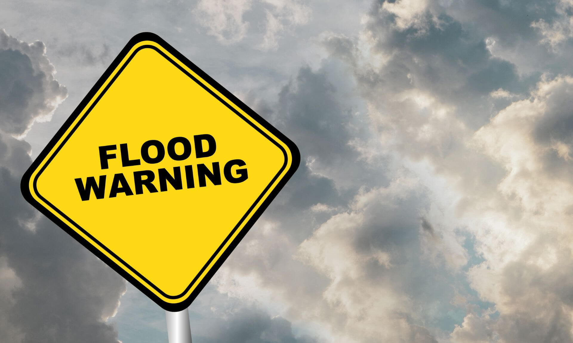
Cornwall Braces for Flooding: What You Need to Know
Cornwall is on high alert as the environmental agency issues a dire warning: expect significant flooding across coastal areas early Tuesday morning, 9th April. Residents and visitors alike are urged to take immediate precautions, with flooding anticipated over the high tide, particularly around 06:18 at St Ives, although times will vary along different parts of the coast.
Gale Force Winds and High Waves Forecasted
The forecast predicts gale force 8 north-westerly winds, combined with offshore wave heights reaching up to 5m, creating a recipe for potential disaster. Flooding to properties is possible, with the high tide expected to be up to 300mm higher than usual due to adverse weather conditions.
Areas Most At Risk:
- North Cornwall Coast: From Lands End to Chapel Porth, including Sennen, St Ives, Carbis Bay, Lelant, Portreath, and Porthtowan.
- North Cornwall Coast: From Chapel Porth to The Rumps, areas such as Trevellas, Perranporth, Newquay, Mawgan Porth, Porth, and Polzeath, with a notable exclusion of the tidal River Camel.
- Tidal River Camel: Specifically low-lying areas including Padstow, Rock, Sladesbridge, and the A389, excluding Wadebridge and Chapel Amble.
- North Cornwall Coast: From The Rumps to Hartland Point, excluding Bude, but including Port Quinn, Port Isaac, Port Gaverne, Flexbury, Widmouth Bay, Trebarwith Strand, and Boscastle.
South Coast Warnings:
- Mounts Bay: Including seafront properties, Lifeboat Station, Foster-Bolitho Gardens, St Mary’s Primary School, and more.
- From Lands End to Lizard Point: Covering Mousehole, Praa Sands, Porthleven, and Mullion Harbour.
- From Lizard Point to Gribbin Head: Including tidal rivers Helford and Fal, and towns such as Falmouth, Penryn, and Mevagissey.
- From Gribbin Head to Rame Head: Affecting Fowey, Polperro, Looe, and the surrounding areas.
- Rame Head to Plymouth: This flood alert includes Kingsand, Cawsand, Torpoint, and the tidal rivers Tamar and Plym.
Safety First: Heed the Warnings
Residents and tourists are advised to keep a safe distance from coastal paths and promenades, as large waves and spray are highly likely, posing a significant risk. The risk of localised standing water on coastal roads is also a concern. Authorities strongly advise against driving through floodwaters or waves, emphasising the importance of public safety.
For those requiring detailed tidal information, the forecast high tide level at Plymouth is set at 2.97 mAOD, which is 0.53m above the astronomical tide level, indicating a significantly higher risk of flooding.
Stay Prepared
As Cornwall braces for the upcoming high tide and severe weather conditions, staying informed and prepared is crucial. Follow local advisories, and ensure safety measures are in place to mitigate the impact of the expected flooding across Cornwall’s coastal areas.
Share This Story, Choose Your Platform!
To keep up with the latest cornish news follow us below
Follow CornishStuff on Facebook - Like our Facebook page to get the latest news in your feed and join in the discussions in the comments. Click here to give us a like!
Follow us on Twitter - For the latest breaking news in Cornwall and the latest stories, click here to follow CornishStuff on X.
Follow us on Instagram - We also put the latest news in our Instagram Stories. Click here to follow CornishStuff on Instagram.
You Might Also Be Interested In


Latest News In Cornwall


Daily Cornish news by email
The latest daily news in Cornwall, sent direct to your inbox.


