28/0/2025 – Weather in Cornwall – Yellow Weather Warning For Rain
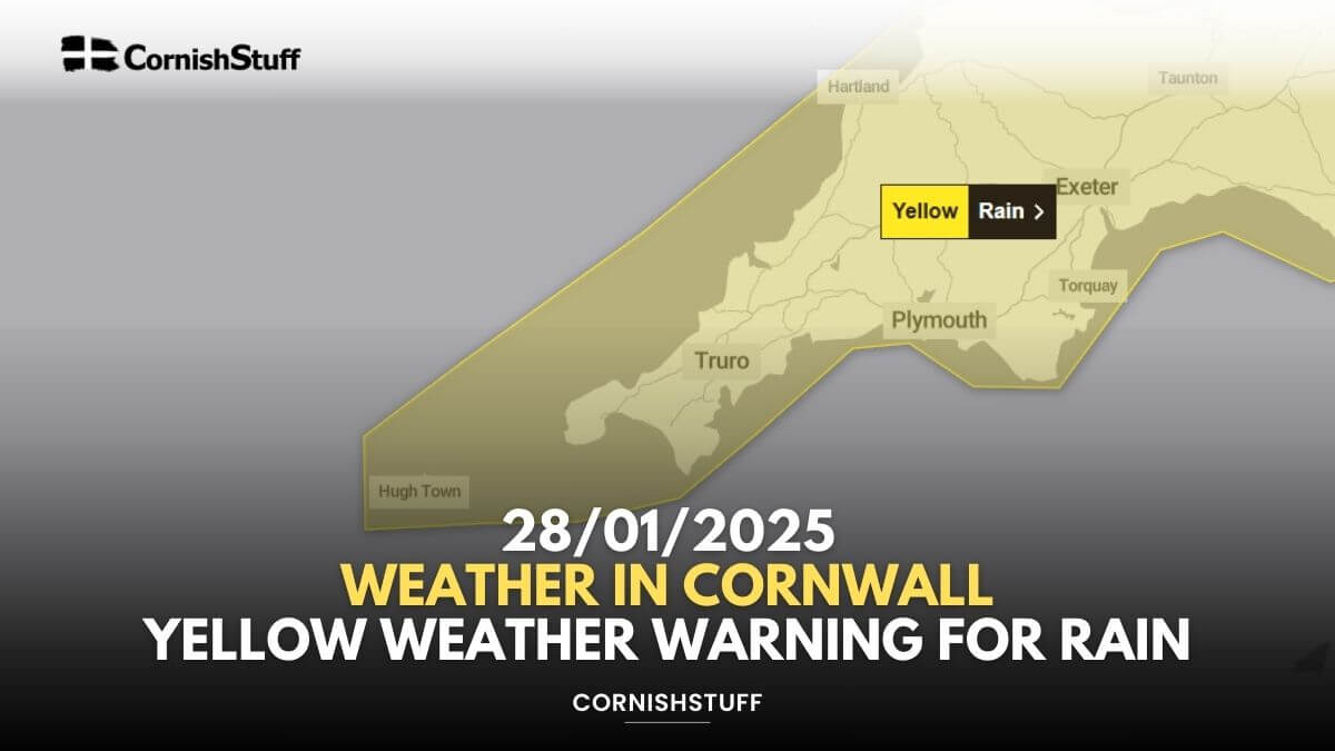
Yellow Weather Warning in Place Until 10am
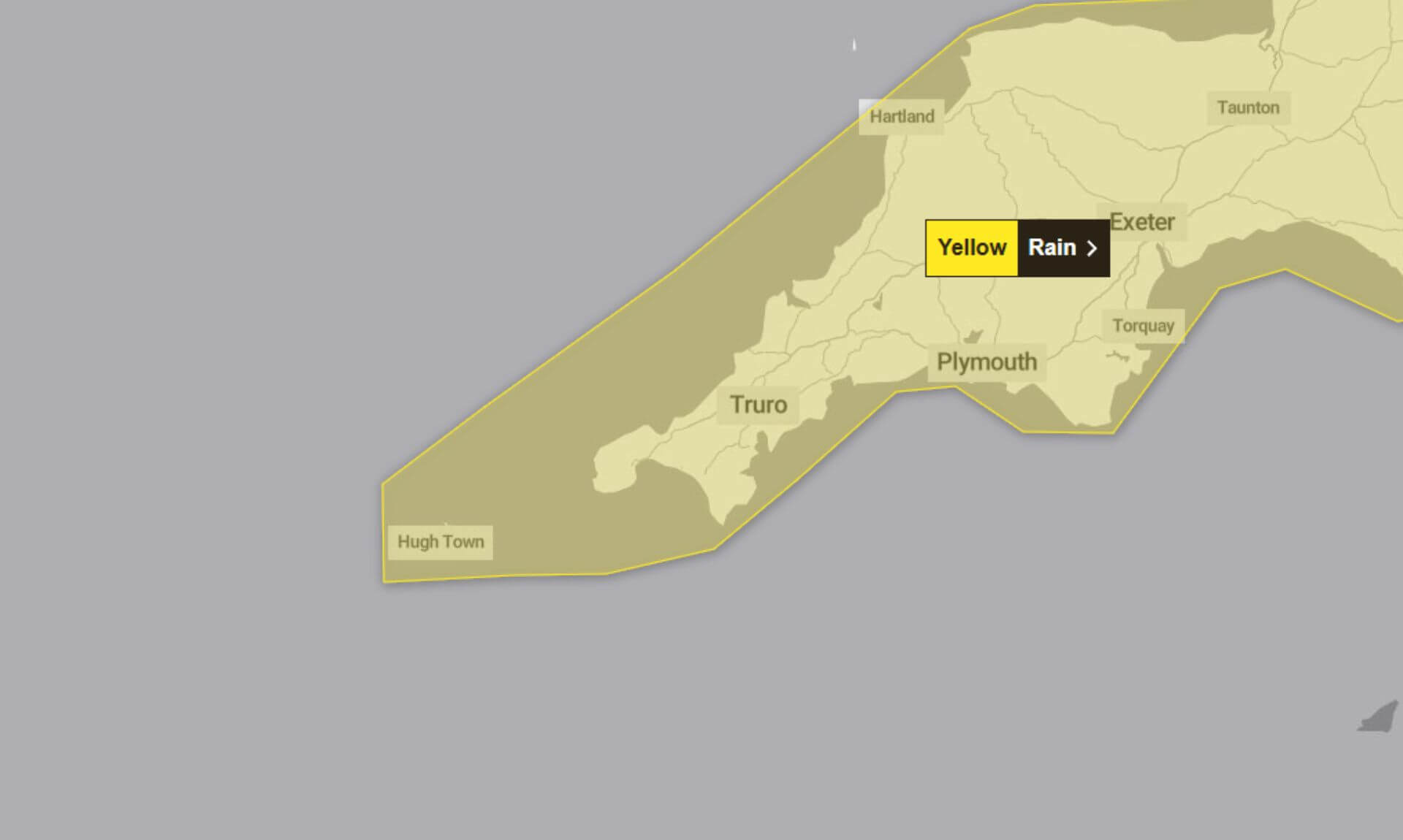
The Met Office has issued a yellow weather warning for rain, valid from 7:58am Monday 27th January until 10:00am today. Heavy, blustery showers combined with possible thunderstorms are affecting the region, leading to localised flooding and travel disruption.
What to Expect
- Flooding of a few homes and businesses is possible.
- Spray and flooding on roads are likely to make journey times longer.
- Some bus and train services may face delays.
- Interruption to power supplies and other services may occur.
Further Details
The warning highlights a series of heavy showers driven by strong winds, persisting through Monday and into the early hours of Tuesday morning. With already saturated ground, additional rainfall is likely to sustain or create flooding. Road travel remains the most affected, with hazards like hail and lightning strikes potentially making conditions more dangerous.
What Should You Do?
The Met Office recommends the following precautions to minimise disruption:
- Plan Your Journey:
Check road conditions, bus timetables, and train schedules before travelling. Consider amending your travel plans to avoid delays. - Prepare for Power Cuts:
Gather essential items such as torches, batteries, and mobile phone power packs to cope with potential outages. - Stay Informed:
Weather warnings can change quickly, so keep an eye on the latest forecast for your area. - Flood Preparation:
If your property is at risk of flooding, create a flood plan and prepare an emergency flood kit.
Why Yellow?
This warning carries a medium likelihood of occurrence but is expected to have a low impact overall.
South West England weather forecast
Headline:
A windy day with showery outbreaks of rain.
Today:
It will be a rather cloudy day with showery outbreaks of rain, some heavy and persistent. A few thundery showers are likely in the west, though here they should ease later to allow skies to brighten. Windy, with coastal gales. Maximum temperature 10 °C.
Tonight:
A cloudy and showery start in the east, though showers easing to leave most parts dry overnight with clear spells. A patchy frost. Rain arriving in the far west later. Minimum temperature 2 °C.
Wednesday:
Some rain may feed eastwards across southernmost parts of the region. Elsewhere it looks generally dry, with the north seeing the best of any brightness. A breeze developing again. Maximum temperature 8 °C.
Outlook for Thursday to Saturday:
Early frost and any fog clearing to leave a dry day on Thursday with sunny spells and light winds. Cloudier on Friday and Saturday with some patchy rain.
Updated:
Share This Story, Choose Your Platform!
To keep up with the latest cornish news follow us below
Follow CornishStuff on Facebook - Like our Facebook page to get the latest news in your feed and join in the discussions in the comments. Click here to give us a like!
Follow us on Twitter - For the latest breaking news in Cornwall and the latest stories, click here to follow CornishStuff on X.
Follow us on Instagram - We also put the latest news in our Instagram Stories. Click here to follow CornishStuff on Instagram.
You Might Also Be Interested In


Latest News In Cornwall


Daily Cornish news by email
The latest daily news in Cornwall, sent direct to your inbox.


