26/01/2025 – Weather in Cornwall – Yellow Weather Warning For Wind
Brace for Impact: Strong Winds and Heavy Rain Hit Southwest England This Morning
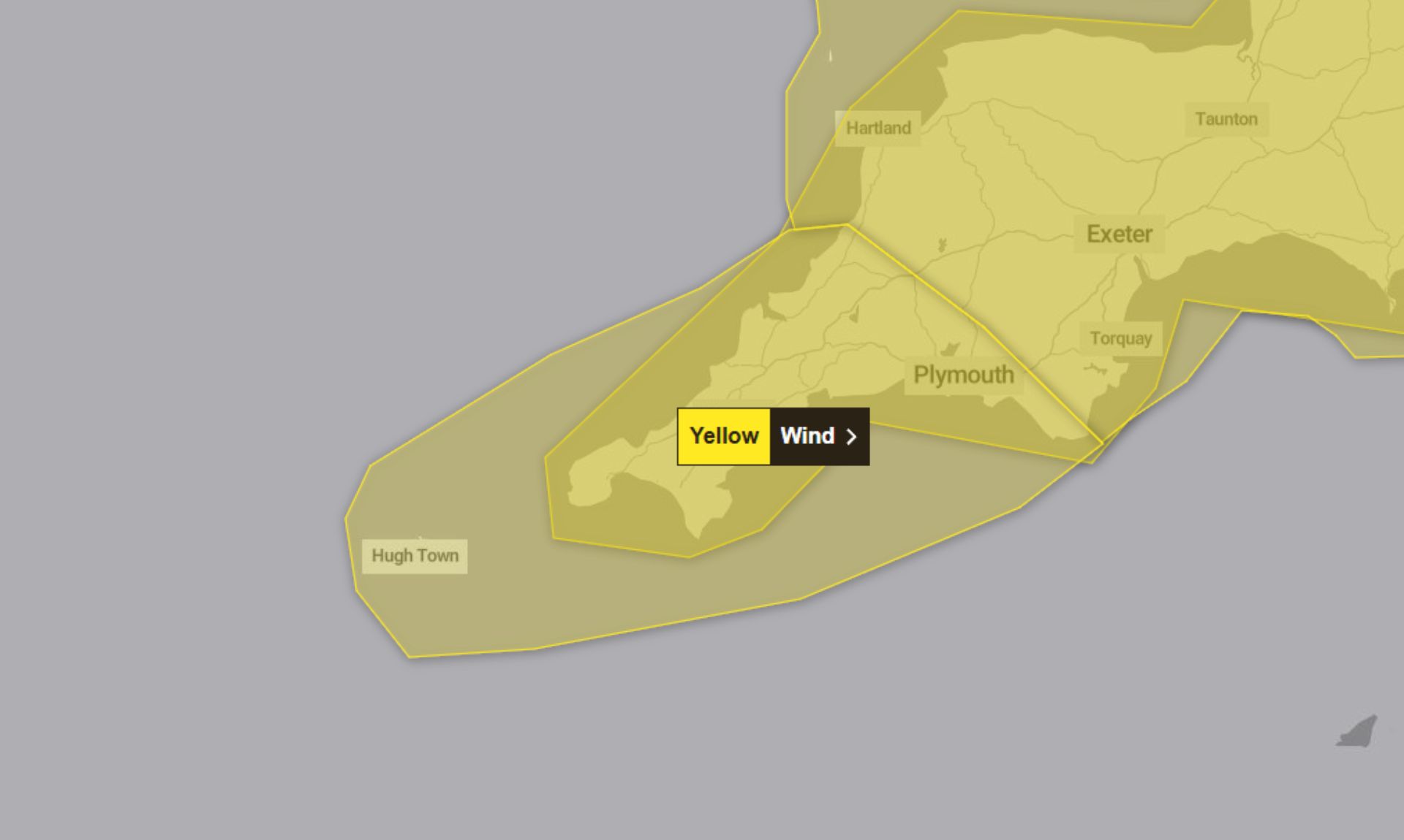
Yellow Weather Warning in Effect
A yellow weather warning for wind is in place today from 06:00 to 13:00, as strong south to southeasterly winds sweep across southwest England. The Met Office has cautioned that the extreme weather may cause significant disruption during Sunday morning.
What to Expect
The Met Office has outlined several risks associated with the warning:
- Property Damage: Tiles may be blown from roofs, and unsecured outdoor items are at risk of being tossed about.
- Power Cuts: The weather could cause outages, potentially disrupting mobile phone services.
- Injury Risks: Flying debris could pose a danger to life, while large waves and beach material could be thrown onto sea fronts, roads, and nearby properties.
- Travel Disruption: Roads and bridges may close, and road, rail, air, and ferry services may face delays or cancellations.
Further Details on the Warning
The warning accompanies a period of very strong winds, with gusts expected to reach 55-65 mph across much of the region. In some exposed coastal areas and hills, gusts could peak at 75 mph. Heavy rain and a chance of thunderstorms may exacerbate the situation, particularly where showers occur inland.
Safety Advice from the Met Office
To minimise risks and prepare for potential disruption, the Met Office has issued the following recommendations:
- Secure Loose Items: Ensure outdoor items like bins, trampolines, and garden furniture are fastened down.
- Prepare for Power Cuts: Gather torches, batteries, and mobile phone power packs to stay connected during outages.
- Stay Safe on the Coast: Avoid large breaking waves and keep dogs on a lead near cliffs. In emergencies, call 999 and ask for the Coastguard.
- Plan Your Journey: Check road and rail conditions before setting out and adjust your travel plans if needed.
Stay Updated
The Met Office emphasises the importance of staying informed, as weather conditions and warnings may change rapidly. Regularly check the forecast for the latest updates.
Why Yellow?
The warning is categorised as yellow due to its low likelihood but medium impact, indicating the potential for significant effects in some areas.
South West England weather forecast
Headline:
Wet and very windy today, rain clearing to showers later.
Today:
Heavy rain quickly spreading across the whole region during this morning. Bright spells and heavy, locally thundery showers, following for this afternoon. Becoming very windy with severe gales on coasts. Maximum temperature 10 °C.
Tonight:
Briefly drier to start this evening, but further heavy rain soon arriving. This clearing to frequent showers overnight. Often windy with coastal gales, these becoming severe in the west later. Minimum temperature 4 °C.
Monday:
A very windy and showery day with heavy downpours at times, interspersed with sunnier intervals. Longer periods of rain are possible in places. Severe gales in some coastal areas. Maximum temperature 9 °C.
Outlook for Tuesday to Thursday:
Remaining generally unsettled during this period with showers or longer spells of rain, heavy at times. Probably turning somewhat drier by Thursday. Windy at first with temperatures near average.
Updated:
Share This Story, Choose Your Platform!
To keep up with the latest cornish news follow us below
Follow CornishStuff on Facebook - Like our Facebook page to get the latest news in your feed and join in the discussions in the comments. Click here to give us a like!
Follow us on Twitter - For the latest breaking news in Cornwall and the latest stories, click here to follow CornishStuff on X.
Follow us on Instagram - We also put the latest news in our Instagram Stories. Click here to follow CornishStuff on Instagram.
You Might Also Be Interested In


Latest News In Cornwall


Daily Cornish news by email
The latest daily news in Cornwall, sent direct to your inbox.


