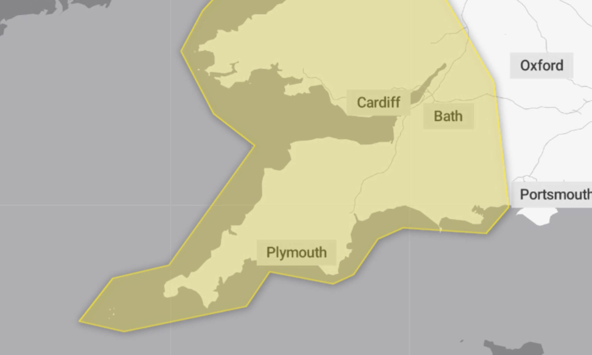
22/12/2024 – Weather in Cornwall – Yellow Weather Warning For Wind
What to Expect
Strong northwesterly winds are expected throughout the day, with gusts of 50-60 mph likely across many areas. Exposed coasts and hills in the north and west could see gusts reach up to 70 mph. The conditions are accompanied by squally showers, hail, and the possibility of thunder in some locations.
The warning highlights potential impacts:
- Travel Disruptions: Delays to road, rail, air, and ferry transport are likely. High-sided vehicles may experience significant delays on exposed routes and bridges.
- Coastal Hazards: Sea fronts and coastal routes may be affected by large waves and spray, posing a danger to those near the shore.
- Power Cuts: Short-term power outages and interruptions to other services are possible.
The timing of this weather warning could cause greater disruption due to the busier pre-Christmas weekend travel period.
Safety Advice
The Met Office encourages everyone to take precautions and adjust travel plans to minimise disruption:
- On the Road: Check road conditions and timetables before travelling and amend plans if necessary.
- Power Outages: Prepare for potential power cuts by gathering torches, batteries, mobile phone power packs, and other essential items.
- Stay Safe by the Coast: Be mindful of large waves, which can sweep people off their feet even from the shore. If walking near cliffs, ensure you know your route and keep dogs on a lead.
In an emergency, call 999 and ask for the Coastguard.
Stay Updated
As weather warnings can change rapidly, the Met Office advises keeping a close eye on local forecasts throughout the day to stay informed.
Why Yellow?
This warning reflects a medium likelihood of disruptive weather with a low overall impact, according to the Met Office.
South West England weather forecast
Headline:
Very windy and cold today with showers, especially this morning.
Today:
Another very windy day with severe gales in exposed areas, making it feel very cold. The strong winds perhaps bringing some travel disruption in places. Sunny spells and showers, these wintry over hills this morning, but gradually fading away later. Maximum temperature 8 °C.
Tonight:
Turning increasingly dry this evening but a few showers remain possible at first overnight. Strong winds at first, easing later. Becoming cold with clearing skies allowing a slight rural frost. Minimum temperature 2 °C.
Monday:
A cold and fairly sunny start and staying bright in eastern counties well into the afternoon. Becoming cloudier further west and turning damp in places, especially Cornwall. Much lighter winds. Maximum temperature 9 °C.
Outlook for Tuesday to Thursday:
Turning very mild by Christmas Eve and staying mild over the festive period. Generally dull at first with some drizzle in places but otherwise mainly dry with brighter breaks possible.
Updated:
Share This Story, Choose Your Platform!
To keep up with the latest cornish news follow us below
Follow CornishStuff on Facebook - Like our Facebook page to get the latest news in your feed and join in the discussions in the comments. Click here to give us a like!
Follow us on Twitter - For the latest breaking news in Cornwall and the latest stories, click here to follow CornishStuff on X.
Follow us on Instagram - We also put the latest news in our Instagram Stories. Click here to follow CornishStuff on Instagram.
You Might Also Be Interested In


Latest News In Cornwall


Daily Cornish news by email
The latest daily news in Cornwall, sent direct to your inbox.


