10-02-2024 Weather in Cornwall – South Cornwall Braces for Potential Flooding Amid Spring Tides
Cornwall, February 10, 2024 – Residents along the South Cornwall coast are being urged to prepare for possible flooding as a series of high spring tides are expected to impact the area from Saturday, 10th February, through Tuesday, 13th February. The Kernow Weather Team (KWT) has issued flood alerts for multiple areas, highlighting the combined effects of high tides, low atmospheric pressure, and moderate southerly winds which could exacerbate the flooding risk to quaysides and low-lying coastal regions.
The forecast indicates that high water at Newlyn will occur at 04:49 AM on Saturday and 05:34 AM on Sunday, with variations in timing expected along the coast. The anticipated high tides, coupled with the current weather conditions, may lead to water levels being approximately 0.5 meters higher than originally predicted.
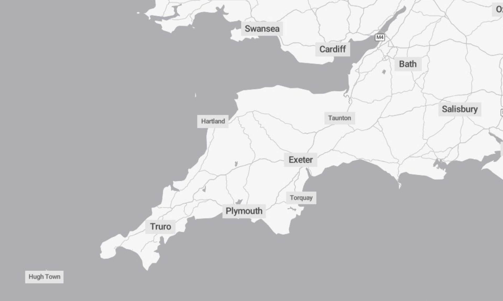
Affected areas include the South Cornwall Coast from Lands End to Lizard Point, extending to Gribbin Head, and further to Rame Head, encompassing key locations such as Mousehole, Newlyn, Penzance, and Looe, among others. The Upper River Tamar region, including Bude and Launceston, has also been put on alert.
The Kernow Weather Team’s follow-up announcement emphasised the significance of the current low pressure system, which is expected to raise tide heights more than forecasted. With the air pressure around 978mb, an additional 36cm of tide height could be anticipated, further increasing the risk of coastal flooding. Residents and visitors are advised to stay informed of tide times and to exercise caution near the beachfront.
In case of emergencies, the public is reminded to call 999 or 112 and request the Coastguard, or utilise an emergency SMS service for those who are deaf or have speech impairments.
Community members are encouraged to stay updated through local advisories and to prepare for the potential impact of the spring tides, following the guidance issued by the Kernow Weather Team and emergency services.
South West England weather forecast
Headline:
A mild weekend with bright spells mixed with occasional showers.
Today:
A bright start, particularly in eastern counties but turning cloudier with scattered showers in the west, these becoming more widespread and locally heavy. Breezy at times, especially in the west. Maximum temperature 11 °C.
Tonight:
Scattered showers this evening and overnight, these locally heavy. Rather windy in Devon and Cornwall and along the south coast. Minimum temperature 6 °C.
Sunday:
A changeable day with periods of cloud and showers, these locally heavy, but also some sunny spells, especially later. Often brisk westerly winds and feeling less mild. Maximum temperature 10 °C.
Outlook for Monday to Wednesday:
Breezy on Monday and feeling colder with sunny spells and scattered showers. Rain at times on Tuesday and Wednesday but also some drier spells. Temperatures remaining a bit above average.
Updated:
Share This Story, Choose Your Platform!
To keep up with the latest cornish news follow us below
Follow CornishStuff on Facebook - Like our Facebook page to get the latest news in your feed and join in the discussions in the comments. Click here to give us a like!
Follow us on Twitter - For the latest breaking news in Cornwall and the latest stories, click here to follow CornishStuff on X.
Follow us on Instagram - We also put the latest news in our Instagram Stories. Click here to follow CornishStuff on Instagram.
You Might Also Be Interested In


Latest News In Cornwall


Daily Cornish news by email
The latest daily news in Cornwall, sent direct to your inbox.


