08/01/2025 – Weather in Cornwall – Yellow Weather Warning For Snow
Will the Cornwall See Snowfall Chaos Today? Yellow Weather Warning Issued
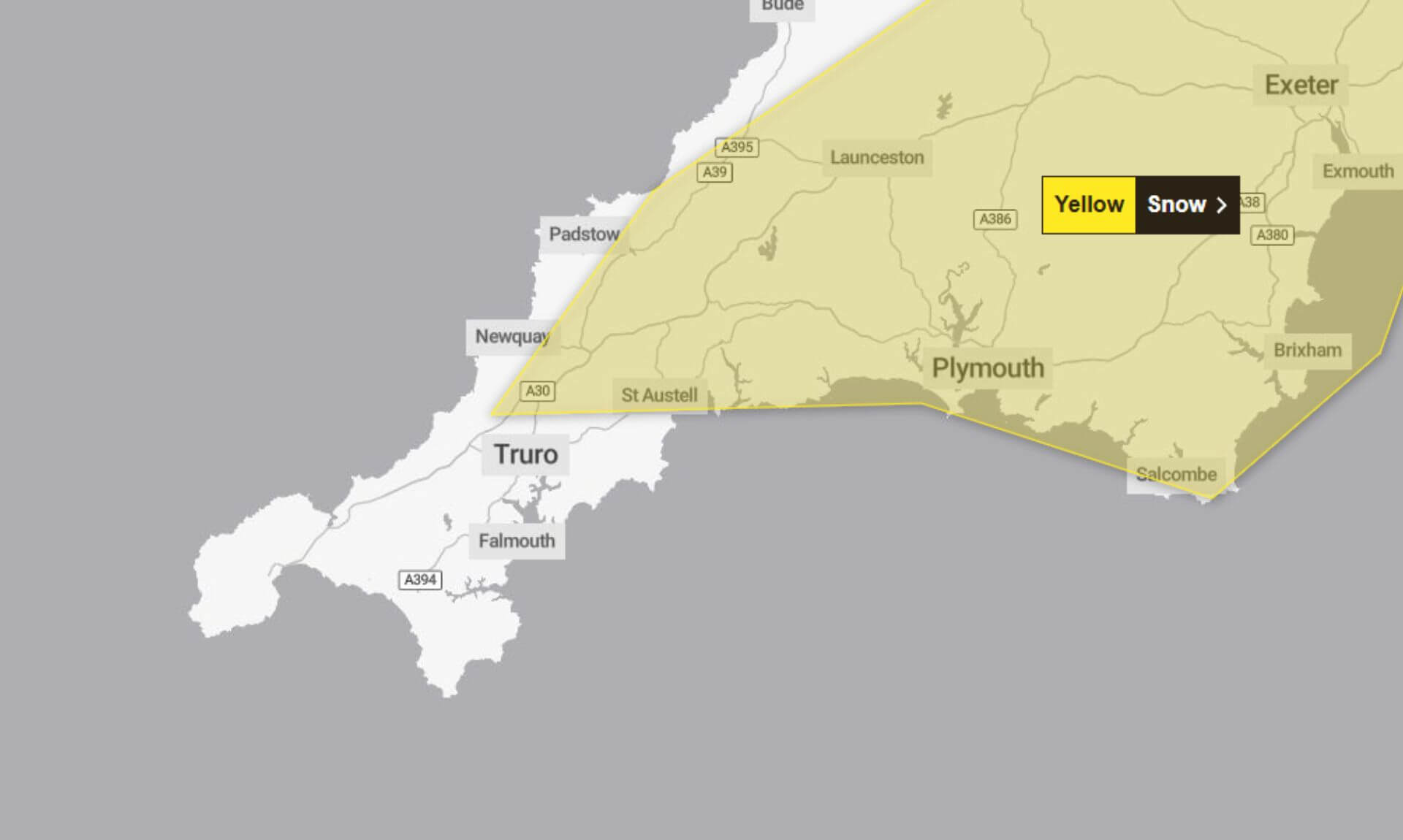
A yellow weather warning for snow is in effect today, with the Met Office alerting residents across southern counties of England to potential disruptions. The warning remains in place from 9:00am to 11:59pm.
What to Expect
The Met Office has cautioned that a weather system may bring snow across the region, with areas of higher ground at greater risk of significant accumulation. Snowfall could lead to:
- Power cuts and potential disruptions to mobile phone services
- Rural communities, particularly those in upland areas, becoming temporarily isolated
- Delays or cancellations to road, rail, and air travel, with a risk of stranded vehicles and passengers
Outbreaks of 2-5cm of snow are expected in many places, with up to 10cm possible over higher ground, particularly on east or northeast-facing slopes. Coastal areas are more likely to experience rain or sleet.
As the system clears eastwards by nightfall, ice is predicted to form on untreated surfaces, creating additional hazards.
Staying Safe in Snow
Wintry conditions can make travel treacherous, and the Met Office advises the following precautions:
- Plan your route: Check for delays and closures and be ready to amend travel plans.
- Prepare your car: Leave extra time to check your vehicle and pack essentials, such as warm clothing, food, water, a blanket, torch, ice scraper, warning triangle, high-visibility vest, and a phone charger.
- Be ready for power cuts: Gather torches, batteries, and mobile power packs to stay connected.
The Met Office encourages people to stay informed by regularly checking local forecasts as conditions can change rapidly.
Why Is the Warning Yellow?
A yellow weather warning indicates a low likelihood of severe weather but with the potential for a medium impact on those affected.
Residents are urged to stay vigilant and be prepared as today’s weather unfolds.
South West England weather forecast
Headline:
Cold start with rain, sleet and snow possible at times.
Today:
A cold but rather cloudy start to Wednesday. Outbreaks of rain, sleet and snow then spreading north and eastwards through the day. Potentially giving some significant accumulations in places, mainly over the higher ground. Feeling cold for many. Maximum temperature 7 °C.
Tonight:
Rain, sleet and snow soon clearing this evening and overnight to leave clearer skies behind. Another cold night with a frost and icy stretches. Minimum temperature -5 °C.
Thursday:
A frosty and bright start to the day with sunnier intervals developing through the afternoon and the odd wintry shower. Feeling cold. Maximum temperature 7 °C.
Outlook for Friday to Sunday:
Cloudier on Friday with the chance of some rain and hill snow. Murky start on Saturday with drizzle at times then brighter spells into Sunday. Cold start then becoming milder.
Updated:
Share This Story, Choose Your Platform!
To keep up with the latest cornish news follow us below
Follow CornishStuff on Facebook - Like our Facebook page to get the latest news in your feed and join in the discussions in the comments. Click here to give us a like!
Follow us on Twitter - For the latest breaking news in Cornwall and the latest stories, click here to follow CornishStuff on X.
Follow us on Instagram - We also put the latest news in our Instagram Stories. Click here to follow CornishStuff on Instagram.
You Might Also Be Interested In


Latest News In Cornwall


Daily Cornish news by email
The latest daily news in Cornwall, sent direct to your inbox.


